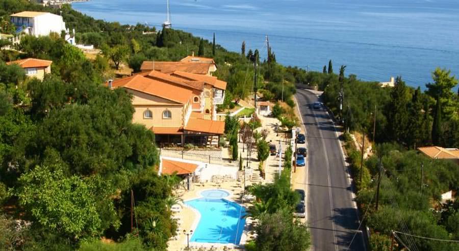

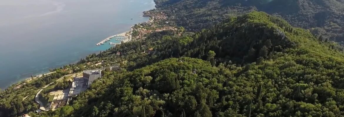
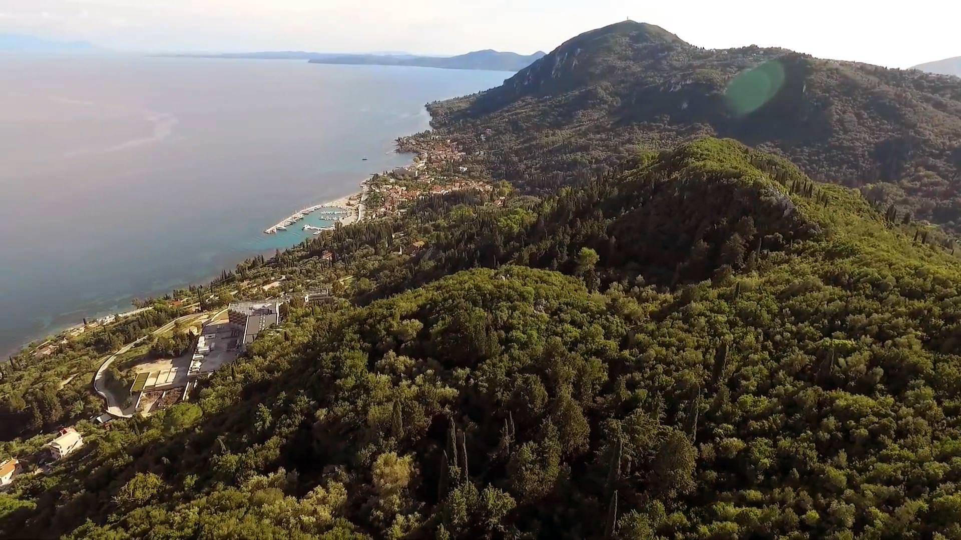
South of Corfu town just after 12 km, you will find Benitses.
Benitses is the most known village of Corfu worldwide as it was the first tourist destination on the island since the 1960s.
The old traditional village is in the valley between the rocks of the surrounding mountains, just 300 yards from the central square in the new port.
So, why should you visit Benitses, Corfu? We give you at least 6 good reasons to do it!
1. The beauty of the scenery
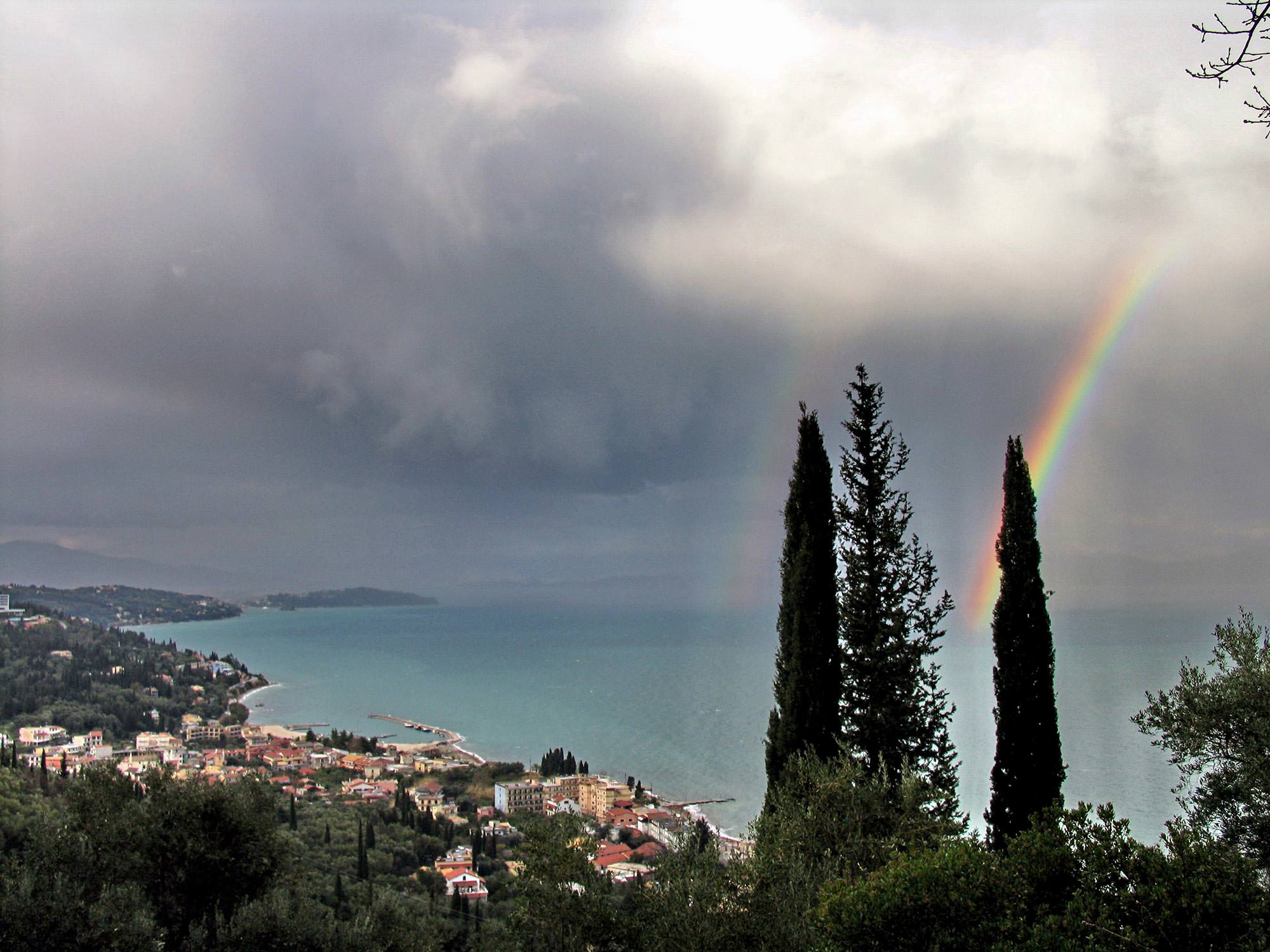
In Benitses, the beauty of the mountains of Stavros and Agioi Deka coexists with the turquoise-blue sea of the Ionian Sea.
The Residents are more than 900 and engaged primarily in tourism and fishing in the winter months. They are familiar with all cultures, and their main characteristic is spontaneous hospitality and friendliness to all guests.
Here you can make new friends and enjoy an unforgettable holiday that will stay in your memory.
2. Sports, Beaches, and Activities

Benitses can satisfy every taste. Guests can enjoy a relaxing holiday with plenty of opportunities for water sports in the awarded blue flag crystal clear water beaches.
Here you can enjoy water sports such as water skiing, banana rings, flying with paragliding, and more.
But there are activities for the more adventurous too such as organized climbing trips in the amazing and beautiful surrounding hills.
Also, the beaches down on the shores have crystal clear waters and are awarded the blue flag. The sea plant Posidonia does a perfect job cleaning and filtering the water and provides settlers for the new fishes.
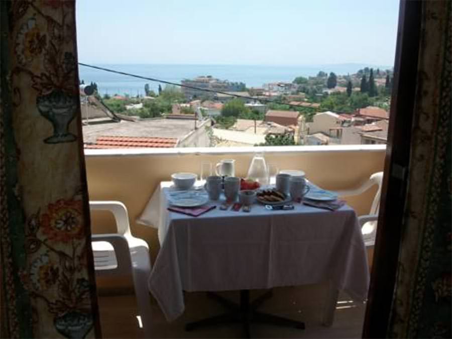
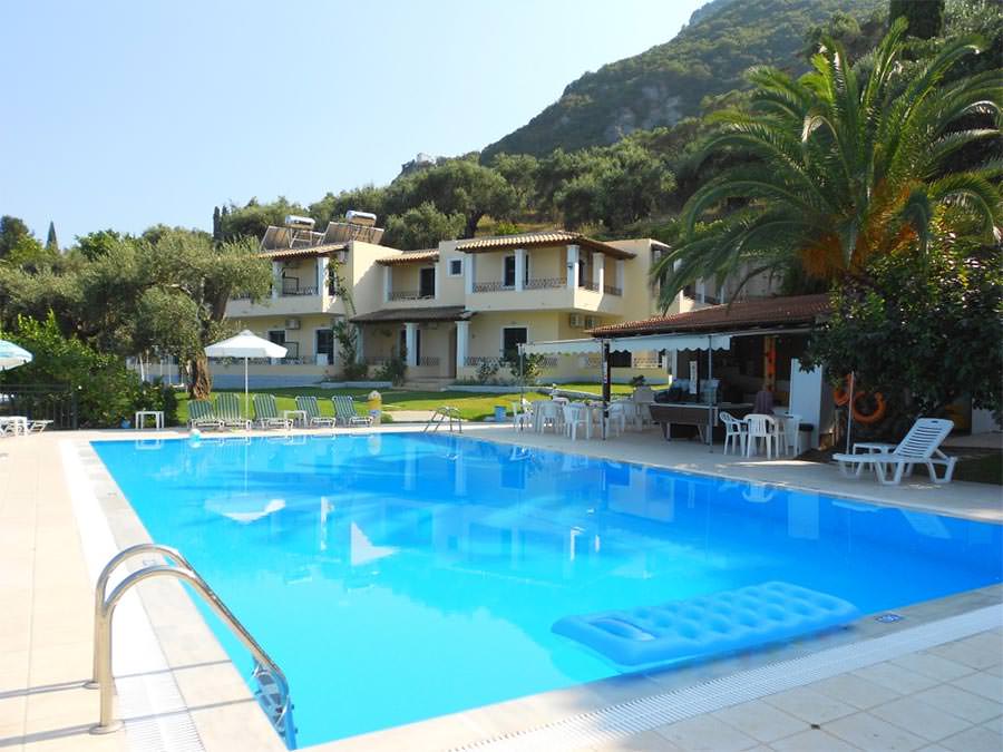
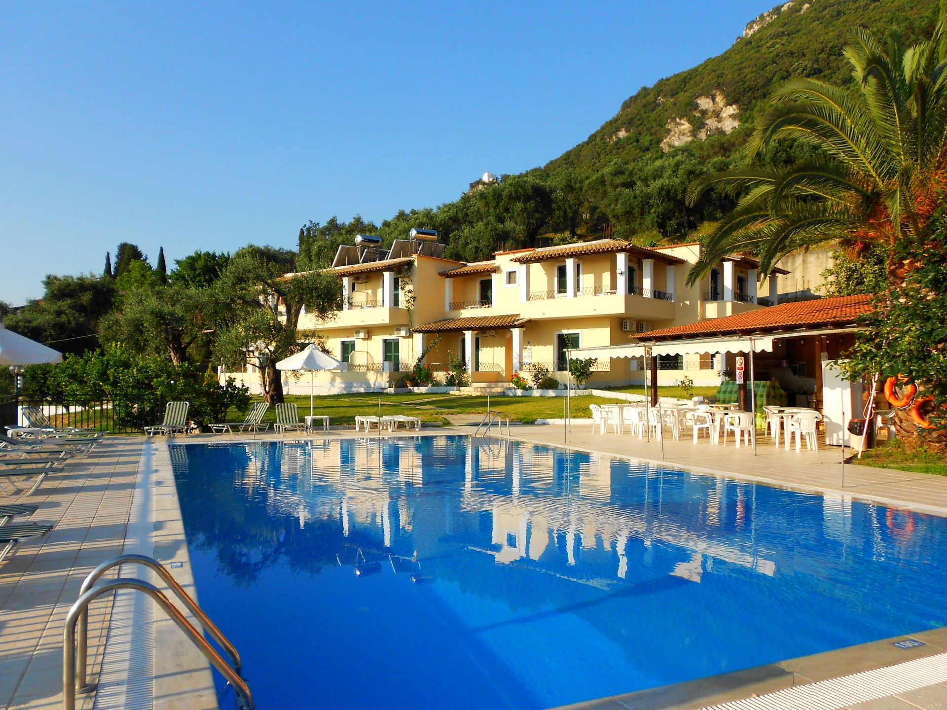
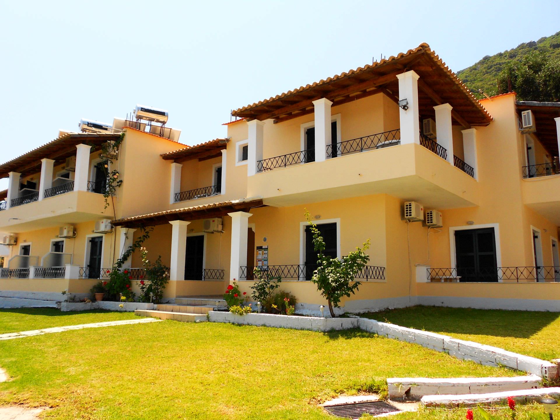
3. Excellent Restaurants and Accommodation
You can taste the meals of your life in a wide variety of restaurants offering authentic Corfiot and international cuisine.
If you are a food lover, you have come to the best place in Corfu for it. Restaurants here offer quality and high gastronomical standards. If you eat in Benitses, you won’t regret it for sure!
And don’t forget that you have a wide choice of fine hotels to choose from for your holidays in Benitses.
4. The Nightlife
In fact, Benitses is a famous hotspot for nightlife with many bars and clubs playing Greek and foreign music for those who want to stay awake and dance all night.
The village’s main part is around the port and above the old road that leads to the reservoir settlement. But also, it extends along the coastline to the settlement of Tsaki in the south, where you will reach the end of the Benitses area.
5. Benitses Sightseeing

In Benitses, there are remnants of Roman thermal baths that date back to the Roman era, very well preserved. You can find them at the center of the village, very close to the main road behind some houses.
In reality, it’s a villa with hot baths that belonged to a Roman noble, dated around 200 ACE
You can also visit the sea museum with a rich collection of marine exhibits, operating since 1989.
It’s good to visit the source of the aqueduct in a region called Vaska on the slopes of the mountain, as well as wonderful places in Corfu and on the opposite Greek mainland coast.
At a distance of 4 km, you must visit the Achilleion Palace, a neoclassical building made by Sisi, the empress of Austro-Hungary, Elizabeth, at the beginning of the 20th century.
The Palace is dedicated to the mythical Achilles, the hero of the Trojan war, and it is decorated with at least two large statues of Achilles inside the large garden area.
Worth seeing are the gardens, the Palace with more statues of Greek philosophers and gods, the big painting of Achilles triumph by the Austrian Franz Matt, and much more.
Don’t miss it!
6. Island hop
Paxos Island, just south of Corfu, is easily accessible by ships that make daily trips there.
From the port, you can take boats that make daily cruises to many places on and around the island. Get in a boat, and you can find yourself down to Kavos or Syvota on the Greek mainland. Boats leaving for the Paxos and Antipaxos islands, where one of the most famous beaches in Greece is, the amazing Voutoumi. And you can visit even Albania.
After all, Benitses is in an ideal position in the center of the island, the perfect starting point for visits to the best beaches of the western Corfu coast as well as to the South of the island.
Final words
From Benitses, you can discover the most that this enchanting island of Corfu can offer, with its numerous beaches, rare and varied natural beauty, great cuisine, and hospitable people.
Also, with its long and turbulent history and culture, one can meet and get to know by visiting the numerous museums and monuments of Corfu.