


📄
Cite this article
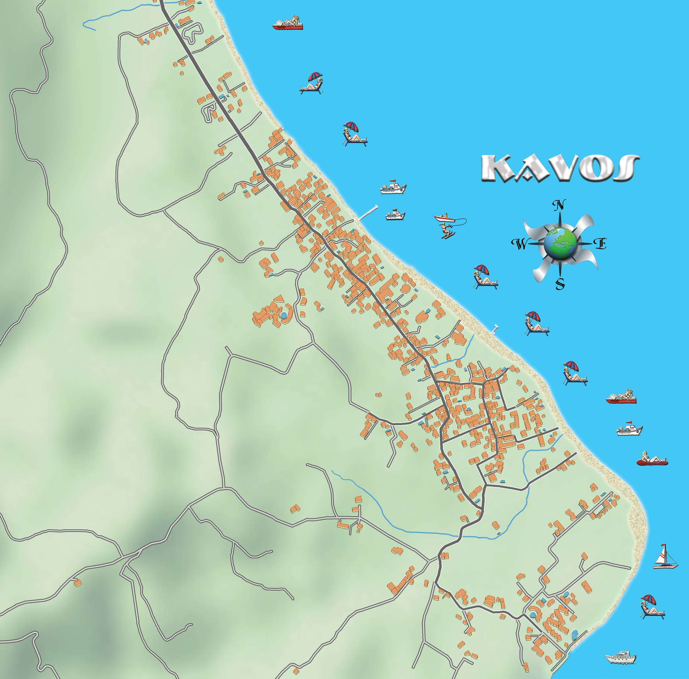
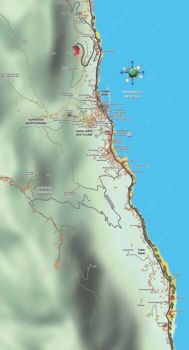
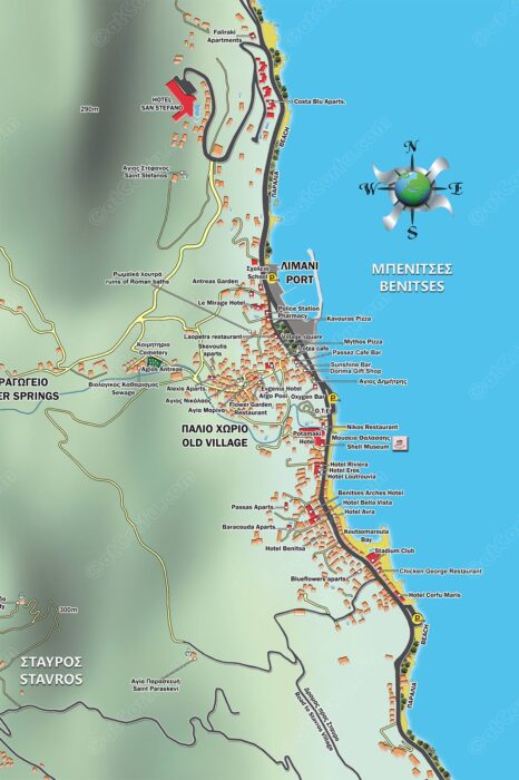
A map of the Kavos area.
The most popular tourist destination on the island among the young British tourists because of its rich and notorious nightlife
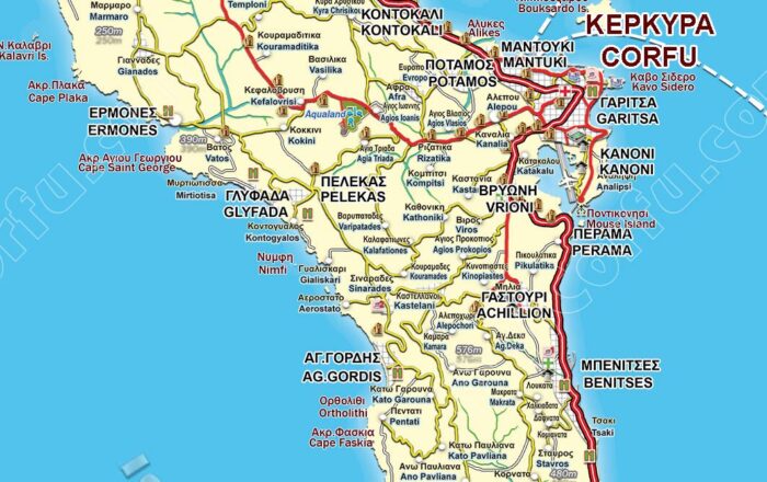
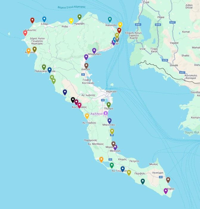
It is on the southernmost edge of the island of Corfu, inside the region of Lefkimi and 45 kilometers distance from Corfu town.


Comments