


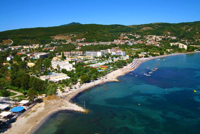
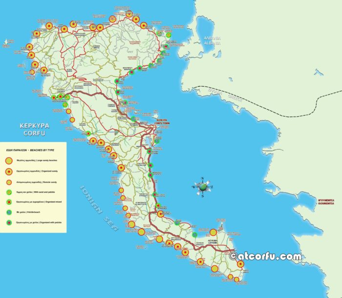
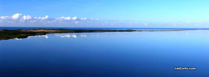
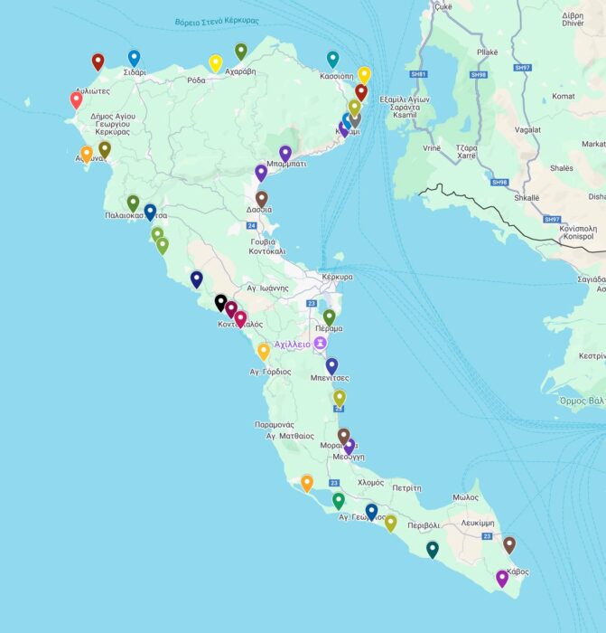
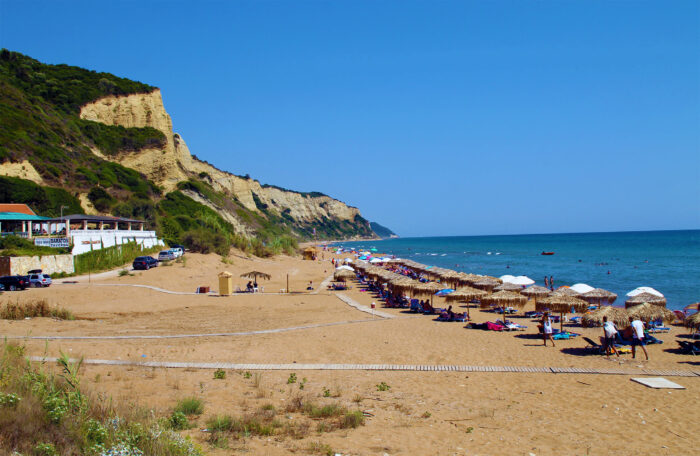
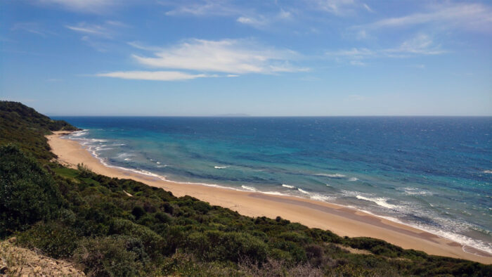
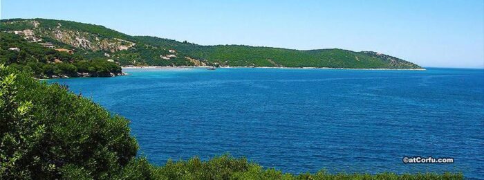
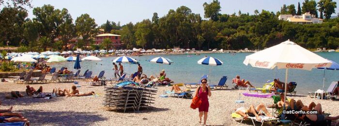
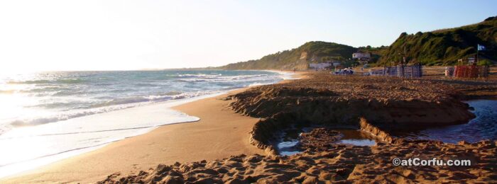
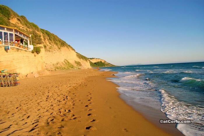
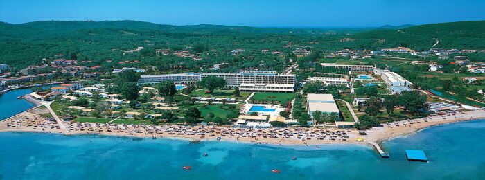
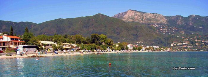
Explore Corfu’s coastline like never before with our interactive beach map. Every beach is clearly marked, giving you a quick visual overview of the island’s best beaches, from north to south Corfu.
Click on any marker to view photos and short descriptions of each beach. Whether you’re searching for golden sand, crystal-clear waters, or hidden coves, this map helps you find the perfect destination in seconds.
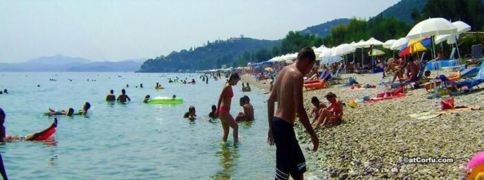
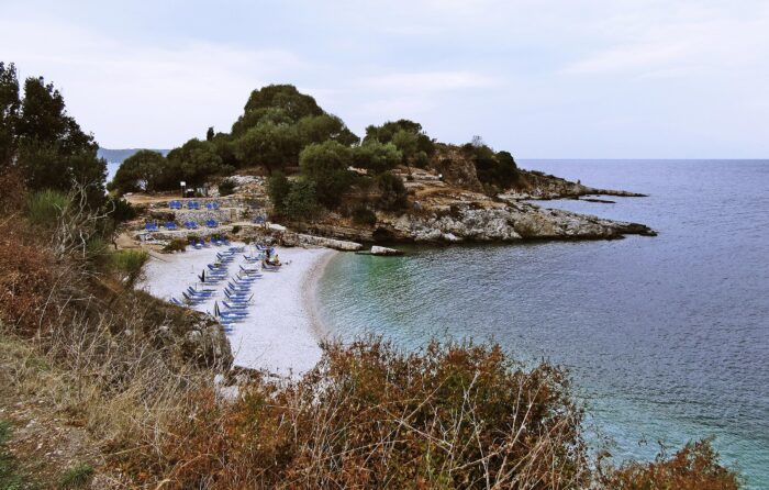
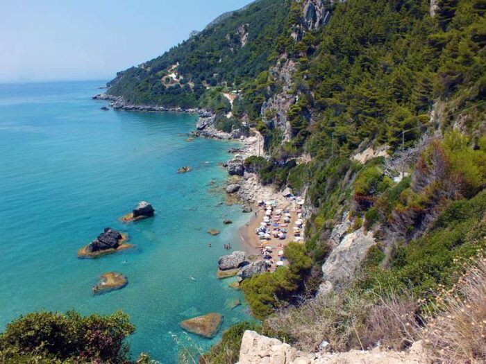
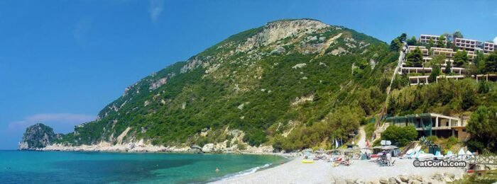
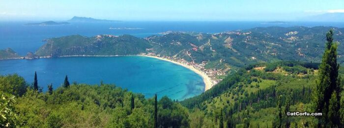
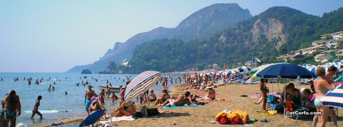
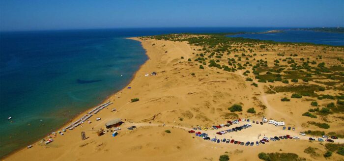
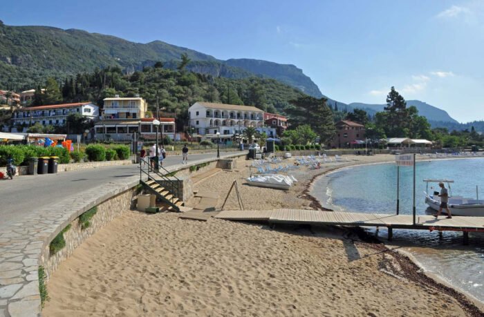
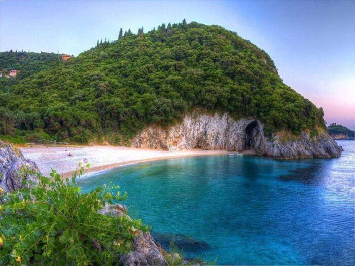
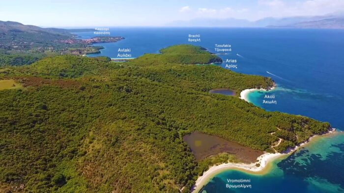
From famous beaches like Paleokastritsa and Glyfada to more remote gems such as Stelari or Chomi, the map covers all categories and coastlines — East, West, North, and South.
Use it to plan your beach-hopping adventures or simply to check what each area offers. You can also zoom in for more detail or locate beaches close to your stay.
It’s the easiest way to discover Corfu’s beach variety in one place — fast, visual, and mobile-friendly.
Click on any beach marker to go to its full guide page.
To see these exact destinations sorted by category, check out our master Best Corfu Beaches by Type Map.
Quick Links to Featured Beach Guides on this Map:
Porto Timoni Map Guide |
Rovinia Map Guide |
Paleokastritsa Guide |
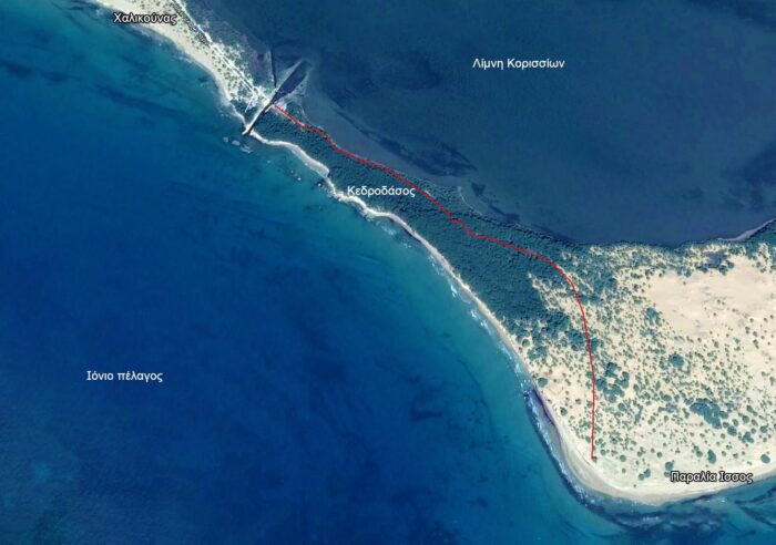
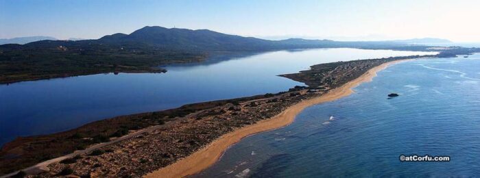
Issos Beach Map |
Marathias Guide


Comments