
Last updated on July 27th, 2024 at 02:31 pm
Our world is filled with stunning architectural miracles that showcase human capability and progress. Many of these have become famous attractions and landmarks in the cities that host them.
From ancient times to the present day, humans have been continuously creating, with countless artistic techniques, and some of these monuments are characteristic of their respective styles.
This is where curiosity comes in; we would love to see some of these symbols of human ingenuity and imagination reimagined in different styles, which would have been quite challenging until a few years ago as it would have required a lot of design work, time, and money.
However, technological progress has provided an easy and fast solution. Today, with the help of artificial intelligence (AI), we can give a photo of a monument and ask it to redesign in a different style, quickly and without expenses.
So, that’s what they did. They selected photos of 15 of the most famous and recognizable monuments around the world and requested them to be redesigned. Here are the results we present to you.
1. Parthenon – Redesigned in Bauhaus Style

The Parthenon is a famous ancient Greek temple located on the Acropolis of Athens. It was dedicated to the goddess Athena, who was considered the patron deity of the city. The construction of the Parthenon began in 447 BC and was completed in 438 BC, during the Golden Age of Athens.
The temple was designed by the architects Ictinus and Callicrates and supervised by the sculptor Phidias, who also created the magnificent statue of Athena Parthenos housed inside. The Parthenon is a prime example of classical Greek architecture, featuring the Doric order and intricate artistic details.
Throughout its history, the Parthenon has undergone various transformations and served different purposes, including functioning as a Christian church during the Byzantine era and an Ottoman mosque in the Middle Ages. Unfortunately, the Parthenon suffered significant damage during several wars, and some of its original sculptures, known as the Elgin Marbles, were removed and are now housed in the British Museum in London.
Today, the Parthenon is a UNESCO World Heritage Site and a symbol of ancient Greek civilization. It remains one of the most iconic and well-preserved ancient buildings in the world, attracting millions of visitors who come to admire its architectural brilliance and historical significance.
2. The Shard-Redesigned in Renaissance Style

The Shard is a renowned skyscraper located in London, United Kingdom. Its official name is “The Shard of Glass,” but it is commonly referred to as “The Shard.” Designed by the Italian architect Renzo Piano, the building stands at a height of approximately 310 meters (1,016 feet) and has 95 floors.
Construction of The Shard began in March 2009, and it was officially inaugurated on July 5, 2012. It is situated in the London Bridge Quarter, near the River Thames, and is a prominent part of the city’s skyline.
The Shard’s unique design features a pyramid-shaped glass façade, which tapers upwards to a pointed spire. This design was inspired by the architecture of London’s historic churches and railways, giving the building a distinctive and striking appearance.
The building serves as a mixed-use development, housing a variety of facilities. It includes a luxury hotel, several high-end restaurants, office spaces, and residential apartments. One of its most popular attractions is “The View from The Shard,” an observation deck located on the 72nd floor, offering breathtaking panoramic views of London.
The Shard has become an iconic landmark in London and is often associated with modern architecture and the city’s vibrant skyline. It has received numerous awards for its design and has become a symbol of London’s dynamism and progress.
3. Big Ben, Redesigned in Industrial Style

Big Ben is one of London’s most famous and iconic landmarks. However, many people mistakenly refer to the entire clock tower as “Big Ben.” In reality, Big Ben is the nickname given to the massive bell housed within the clock tower of the Palace of Westminster, which is also known as the Houses of Parliament.
The clock tower itself is officially called the Elizabeth Tower, named in honor of Queen Elizabeth II. It stands at the northern end of the Palace of Westminster and overlooks the River Thames. The tower’s construction was completed in 1859.
Big Ben, the bell, weighs approximately 13.7 tons and has a diameter of about 2.7 meters (8.9 feet). It is renowned for its accurate timekeeping and the distinctive deep tone of its chimes. The chimes of Big Ben have become a symbol of London and are often used in media and films to represent the city.
The Elizabeth Tower, along with the Houses of Parliament, is a UNESCO World Heritage Site and is one of the most visited attractions in the United Kingdom. The tower is usually not open to the public, but visitors can tour the Palace of Westminster and see the exterior of the clock tower.
Over the years, “Big Ben” has become synonymous with the entire clock tower, and it remains an iconic symbol of London and British culture.
4. Buckingham Palace, Redesigned in Byzantine Style

Buckingham Palace is the official residence of the British monarch in London. It is one of the most famous landmarks in the United Kingdom and serves as the administrative headquarters of the British monarchy. The palace is located in the City of Westminster, near Green Park and St. James’s Park.
Originally known as Buckingham House, the building was constructed in 1703 as a private townhouse for the Duke of Buckingham. In 1761, King George III acquired the property as a residence for his wife, Queen Charlotte. Since then, it has been the principal residence of the reigning British monarch.
Buckingham Palace underwent several expansions and renovations over the years, with significant alterations made during the reigns of George IV and Queen Victoria. The iconic balcony on the front facade, where members of the royal family often appear during special events, was added during Queen Victoria’s reign.
The palace features stunning architecture, including the famous central balcony and the grand Neoclassical facade. The State Rooms are open to the public for a limited period each year, allowing visitors to see some of the palace’s opulent interiors, royal collections, and artworks.
Apart from being the monarch’s residence, Buckingham Palace also serves as the venue for various ceremonial and official events, such as state banquets, investitures, and receptions. The Changing of the Guard ceremony, a popular attraction for tourists, takes place in front of the palace and involves the ceremonial handover of guard duties by the Queen’s Guard to the New Guard.
Buckingham Palace is not only a symbol of the British monarchy but also an essential part of London’s cultural heritage and an iconic destination for visitors from around the world.
5. The Burj Khalifa, Redesigned in Baroque Style

The Burj Khalifa is an iconic skyscraper located in Dubai, United Arab Emirates. It is the tallest building in the world, standing at a staggering height of approximately 828 meters (2,717 feet) with 163 floors. The construction of the Burj Khalifa began in 2004, and it was officially inaugurated on January 4, 2010.
Designed by the architecture firm Skidmore, Owings & Merrill, the Burj Khalifa’s unique design draws inspiration from Islamic architecture and features a stepped, tapered structure, resembling a desert flower. The building’s exterior is clad in reflective glass, which gives it a distinctive appearance and reflects the changing colors of the sky and surrounding landscape.
The Burj Khalifa serves as a multi-use development, housing luxurious residential apartments, offices, and several high-end hotels. The observation decks, known as “At the Top,” offer breathtaking panoramic views of Dubai and the surrounding region, making it a popular tourist attraction.
The tower also features an outdoor terrace on the 148th floor, providing visitors with a unique opportunity to experience being at such incredible heights. The Burj Khalifa is equipped with cutting-edge technology, including high-speed elevators, and it holds numerous world records, including the highest observation deck, highest occupied floor, and tallest service elevator.
Aside from its architectural and engineering feats, the Burj Khalifa plays a significant role in Dubai’s reputation as a global city and a hub for tourism, business, and culture. It has become an iconic symbol of modernity and progress and has garnered international recognition for its impressive design and height.
6. The Eiffel Tower, Redesigned in Rococo Style

The Eiffel Tower is an iconic landmark and one of the most famous structures in the world. It is located in Paris, France, on the Champ de Mars near the Seine River. The tower was constructed as the entrance arch for the 1889 World’s Fair, also known as the Exposition Universelle, which celebrated the 100th anniversary of the French Revolution.
Designed by the engineer Gustave Eiffel, the tower stands at a height of approximately 324 meters (1,063 feet) including its antenna, making it one of the tallest structures in Paris. At the time of its construction, it was the tallest man-made structure in the world until the completion of the Chrysler Building in New York City in 1930.
The Eiffel Tower’s design features a lattice-like structure made of iron, consisting of four curved legs that meet at the top. The tower has three observation decks located at different heights, which offer stunning panoramic views of Paris. Visitors can reach the observation decks either by taking elevators or climbing the stairs.
Initially, the Eiffel Tower faced some criticism and opposition from artists and intellectuals, who saw it as an eyesore in the elegant Parisian landscape. However, over time, it became an integral part of the city’s identity and a symbol of Paris and France’s cultural heritage. Today, it is one of the most visited paid monuments in the world, attracting millions of tourists from all corners of the globe.
The Eiffel Tower has been featured in numerous films, literature, and works of art, further solidifying its status as an enduring and beloved symbol of Paris and a testament to human engineering and architectural ingenuity.
7. Empire State Building, Redesigned in Greek Revival Style

The Empire State Building is a famous skyscraper located in New York City, USA. It is situated in Midtown Manhattan, on Fifth Avenue between West 33rd and 34th Streets. Completed in 1931, the building stands at a height of approximately 443 meters (1,454 feet) to the top of its lightning rod, with 102 floors.
Designed by the architectural firm Shreve, Lamb & Harmon, the Empire State Building was constructed during the Great Depression as part of the intense competition to build the tallest building in the world. It held the title of the world’s tallest building until the completion of the World Trade Center’s North Tower in 1970.
The building’s Art Deco style architecture is characterized by its sleek lines, vertical orientation, and intricate decorative elements. The top of the Empire State Building features an iconic mast with aircraft warning lights, which is illuminated with various colors on special occasions and holidays.
The Empire State Building has been a significant symbol of New York City and the United States. It has been featured in numerous films, TV shows, and popular culture, making it one of the most recognizable landmarks in the world. Visitors can enjoy breathtaking views of Manhattan and beyond from the building’s observation decks on the 86th and 102nd floors.
Over the years, the Empire State Building has undergone various renovations and updates to maintain its status as a modern and energy-efficient structure. It remains a popular tourist attraction, drawing millions of visitors each year who come to experience its historical significance, architectural beauty, and impressive vistas of the New York City skyline.
8. The White House, Redesigned in Victorian Architecture

The White House is the official residence and workplace of the President of the United States. Located at 1600 Pennsylvania Avenue NW in Washington, D.C., the White House has served as the primary residence for every U.S. president since John Adams in 1800.
The White House was designed by Irish-born architect James Hoban and was constructed between 1792 and 1800. It is an iconic example of neoclassical architecture, inspired by the style of European palaces and classical Greek and Roman buildings.
The main building of the White House has three primary floors and contains various rooms and spaces, including the Oval Office, Cabinet Room, East Room, and State Dining Room, among others. It also has impressive public areas where official ceremonies, receptions, and events are held.
The White House grounds cover approximately 18 acres and include the iconic North Lawn, South Lawn, and the Jacqueline Kennedy Garden, among other gardens and areas.
In addition to serving as the President’s residence and workplace, the White House plays a crucial role in U.S. history, politics, and diplomacy. It hosts important meetings, international summits, state dinners, and official ceremonies. It is also a symbol of the American presidency and serves as a representation of the country’s democratic values and governance.
The White House is open to public tours, but access to certain areas is restricted for security and privacy reasons. It is one of the most visited landmarks in the United States, attracting tourists from around the world who come to witness its historical significance and architectural grandeur.
9. The Taj Mahal, Redesigned in Gothic Style

The Taj Mahal is a magnificent white marble mausoleum located in Agra, India. It is one of the most famous and iconic monuments in the world and is renowned for its exquisite beauty and architectural brilliance. The Taj Mahal is considered one of the finest examples of Mughal architecture, which is a blend of Islamic, Persian, Indian, and Turkish influences.
The construction of the Taj Mahal was commissioned by the Mughal emperor Shah Jahan in memory of his beloved wife, Mumtaz Mahal, who died during childbirth in 1631. The construction began in 1632 and took approximately 20 years to complete, with contributions from skilled artisans, craftsmen, and laborers from all over the empire and beyond.
The Taj Mahal complex is set in a vast garden and features a central white marble dome flanked by four minarets at each corner. The main building is adorned with intricate inlay work of semi-precious stones, calligraphy, and delicate carvings, depicting intricate floral motifs and Quranic inscriptions.
The central chamber houses the tombs of Emperor Shah Jahan and Mumtaz Mahal, which lie side by side in an underground chamber. The tombs are beautifully crafted with marble and adorned with decorative elements.
The Taj Mahal is known for its exquisite symmetry, especially when viewed from the front entrance. It is particularly famous for the changing colors it reflects throughout the day, as the marble changes hues with the varying light conditions.
In 1983, the Taj Mahal was designated a UNESCO World Heritage Site, recognizing its immense cultural and historical significance. It is one of India’s most visited tourist attractions, drawing millions of visitors from around the world who come to admire its architectural splendor and experience the enduring symbol of love and devotion.
10. The Sydney Opera House, Redesigned in Tudor Style

The Sydney Opera House is an iconic performing arts venue located in Sydney, Australia. It is one of the most recognizable and famous buildings in the world, renowned for its unique and innovative architectural design.
Designed by the Danish architect Jørn Utzon, the construction of the Sydney Opera House began in 1959 and was officially completed in 1973. The building is situated on Bennelong Point in Sydney Harbour, overlooking the Sydney Harbour Bridge.
The Sydney Opera House’s most distinctive feature is its series of sail-shaped shells or “shells” that make up the roof structure. There are a total of 14 shells, which are made of precast concrete panels covered with white ceramic tiles. The design was inspired by the segments of an orange and represents a bold departure from conventional architectural styles.
The Opera House houses multiple performance venues, including the Concert Hall, the Opera Theatre, the Drama Theatre, and the Playhouse, among others. It hosts a wide range of performances, including opera, ballet, theater, concerts, and various cultural events, making it a hub for arts and entertainment in Australia.
In 2007, the Sydney Opera House was designated a UNESCO World Heritage Site, recognizing its architectural significance and cultural importance. The building’s stunning location on Sydney Harbour makes it a popular destination for locals and tourists alike. Visitors can take guided tours to explore the interiors and learn about the history and design of this iconic structure.
The Sydney Opera House has become an enduring symbol of Australia and a testament to human creativity and architectural excellence. It continues to be a source of national pride and an essential part of Sydney’s identity and cultural landscape.
11. The Neuschwanstein Castle, Redesigned in Brutalist Style

The Neuschwanstein Castle is a stunning and picturesque castle located in Bavaria, Germany. It is one of the most famous and iconic castles in the world and is often referred to as a fairytale castle due to its romantic and fairy-tale-like appearance.
The castle was commissioned by King Ludwig II of Bavaria and was constructed in the late 19th century. King Ludwig II was known for his passion for the arts and his desire to create a dreamlike retreat inspired by the medieval and romanticized architecture of the Middle Ages. The construction of the Neuschwanstein Castle began in 1869 and was not completed during King Ludwig’s lifetime; he died in 1886, and the castle was opened to the public shortly afterward.
The Neuschwanstein Castle’s design draws inspiration from various medieval European castles, and it features elaborate turrets, towers, and balconies, all set against a backdrop of the Bavarian Alps. The interior of the castle is equally ornate, with lavishly decorated rooms, impressive artwork, and intricate woodwork.
The castle is perched on a hilltop overlooking the village of Hohenschwangau and offers breathtaking views of the surrounding landscapes, including the nearby Alpsee and Schwansee lakes.
Today, the Neuschwanstein Castle is one of Germany’s most popular tourist attractions, drawing millions of visitors from around the world each year. It has also been a source of inspiration for numerous works of art, literature, and movies, making it an enduring symbol of romanticism and fantasy.
The castle’s charm and its idyllic setting have earned it a place on the list of UNESCO World Heritage Sites, and it continues to captivate visitors with its magical ambiance and historical significance.
12. The Leaning Tower of Pisa, Redesigned in Art Deco Style

The Leaning Tower of Pisa is a famous freestanding bell tower located in the Italian city of Pisa. It is one of the most recognized and iconic structures in the world, renowned for its distinctive lean.
The construction of the tower began in 1173 and was originally intended to be a vertical bell tower for the adjacent Pisa Cathedral. However, due to the soft ground on which it was built, the tower started to lean during its construction. Construction was halted multiple times, and the tower was completed over a period of almost 200 years, with architects and engineers attempting to compensate for the lean by adjusting the subsequent floors.
The tower stands at a height of approximately 56 meters (183.3 feet) on the highest side and about 55.5 meters (182.1 feet) on the lowest side, with a lean of around 3.97 degrees from the vertical axis.
The Leaning Tower of Pisa is made of white marble and consists of eight stories or levels, each adorned with beautiful arches and decorative elements. It houses a spiral staircase of 294 steps leading to the top, where visitors can enjoy stunning views of Pisa and its surroundings.
Over the years, various efforts were made to stabilize and preserve the tower due to concerns about its structural integrity. In the late 20th century, extensive restoration work was undertaken, which included removing soil from the higher side and anchoring the tower to prevent further tilting.
Today, the Leaning Tower of Pisa is a popular tourist attraction, drawing millions of visitors from around the world who come to marvel at its unique lean and learn about its fascinating history. It remains a symbol of Pisa’s rich cultural heritage and engineering marvels, attracting tourists and photographers seeking to capture the famous “holding up the tower” pose.
13. La Sagrada Familia, Redesigned in Contemporary Style

La Sagrada Familia, also known as the Basilica and Expiatory Church of the Holy Family, is an extraordinary basilica located in Barcelona, Spain. It is one of the most famous and iconic landmarks in the city and one of the most significant works of the renowned Spanish architect Antoni Gaudí.
Construction of the Sagrada Familia began in 1882, and Gaudí took over the project a year later, infusing it with his unique architectural style, which combines Gothic and Art Nouveau elements. Gaudí dedicated the latter part of his life to the construction of the basilica and considered it his masterpiece.
The Sagrada Familia is known for its stunning and innovative design, featuring elaborate facades adorned with intricate sculptures and biblical scenes, soaring spires, and a forest of columns inside the main nave that resembles a natural tree canopy. Gaudí’s design incorporates various symbolic elements and artistic expressions, making the basilica a true work of art.
Despite its long construction period, the Sagrada Familia remains unfinished. Antoni Gaudí passed away in 1926, and the construction has continued over the years, relying on private donations and funds from visitors to support the ongoing work. It is estimated that the basilica will be completed in the coming years, possibly by the early 2030s.
The Sagrada Familia has been recognized as a UNESCO World Heritage Site, acknowledging its cultural and architectural significance. It is not only an essential part of Barcelona’s architectural landscape but also a symbol of Gaudí’s unique artistic vision and a testament to the enduring dedication and creativity of countless craftsmen and artisans who have contributed to its construction over the decades. The basilica continues to draw millions of visitors annually, who come to admire its beauty and marvel at its awe-inspiring architecture.
14. The Great Pyramid of Giza, Redesigned in Romanesque Style

The Great Pyramid of Giza, also known as the Pyramid of Khufu or the Pyramid of Cheops, is the oldest and largest of the three pyramids located on the Giza Plateau in Egypt. It is one of the most famous and iconic monuments in the world and is a testament to the engineering and architectural prowess of the ancient Egyptians.
The construction of the Great Pyramid is believed to have been commissioned by Pharaoh Khufu of the Fourth Dynasty of the Old Kingdom around 2580–2560 BC. It was built as a tomb for the pharaoh and served as his final resting place.
The Great Pyramid stands at a height of approximately 138.8 meters (455 feet) and was originally slightly taller, covered with smooth white limestone casing stones that have mostly eroded or been removed over the millennia. The base of the pyramid is a square with sides measuring around 230.4 meters (756 feet), making it an impressive and massive structure.
The pyramid’s interior contains a complex system of passages, chambers, and corridors, including the King’s Chamber and the Queen’s Chamber. The King’s Chamber houses the sarcophagus, which was originally intended to hold the pharaoh’s mummy.
The construction of the Great Pyramid involved an estimated workforce of tens of thousands of skilled laborers, engineers, and craftsmen who worked over several decades. The precise methods used in its construction are still the subject of research and debate among historians and Egyptologists.
Today, the Great Pyramid of Giza is one of Egypt’s most visited tourist attractions and a UNESCO World Heritage Site. It stands as a symbol of the ancient Egyptian civilization and continues to awe and inspire visitors from all over the world with its monumental scale, remarkable precision, and historical significance.
15. The Forbidden City, Redesigned in Neoclassical Style

The Forbidden City, also known as the Palace Museum, is an imperial palace complex located in the heart of Beijing, China. It served as the imperial palace and political center for Chinese emperors for nearly 500 years, from the Ming Dynasty to the end of the Qing Dynasty.
Construction of the Forbidden City began in 1406 during the reign of Emperor Yongle of the Ming Dynasty and was completed in 1420. It was designed as a vast and grand architectural ensemble with more than 980 buildings, covering an area of over 180 acres. The complex is surrounded by high walls and a deep moat, creating a secluded and highly secure space for the emperor and his court.
The Forbidden City’s architecture follows traditional Chinese palatial design, characterized by intricate wooden structures, ornate courtyards, and colorful roof tiles. The buildings are laid out in a precise north-south axis, with the most important halls and chambers situated along the central axis, reflecting the concept of the emperor as the center of the universe.
The Forbidden City served as the residence and administrative center of the emperor, as well as the ceremonial and political venue for state affairs and important imperial ceremonies. It was strictly off-limits to the general public, hence the name “Forbidden City.”
After the end of imperial rule in 1912, the last emperor, Puyi, abdicated, and the Forbidden City was converted into a museum in 1925. Today, it is one of the most visited and well-preserved ancient palace complexes in the world and a UNESCO World Heritage Site.
The Forbidden City is a significant symbol of China’s historical and cultural heritage, attracting millions of tourists and scholars who come to admire its splendid architecture, impressive artifacts, and to learn about the rich history of China’s imperial past.
In Brief
The above descriptions highlight some of the world’s most iconic landmarks and monuments. These include the Parthenon Temple in Athens, the Shard skyscraper, Buckingham Palace, the clock tower of Big Ben in London, The Empire State Building in New York City, the Eiffel Tower in Paris, the Taj Mahal in Agra, the Sydney Opera House in Australia, the White House in Washington, D.C., the Burj Khalifa in Dubai, the Leaning Tower of Pisa in Italy, La Sagrada Familia in Barcelona, the Neuschwanstein Castle in Germany, the Great Pyramid of Giza in Egypt, and the Forbidden City in Beijing.
Each of these landmarks is a symbol of its respective country’s cultural, historical, and architectural heritage. They draw millions of tourists and visitors every year, leaving a lasting impression and serving as a testament to human creativity, engineering prowess, and artistic vision. From ancient wonders like the Great Pyramid to modern marvels like the Burj Khalifa, these landmarks continue to captivate and inspire people worldwide.
Travel around the World

30 Beautiful Cities in Europe for You to Visit
Welcome to a fascinating journey through the captivating cities in Europe! Today, there is no shortage of breathtaking destinations that will enchant and inspire you.

15 Of The Most Famous Buildings In The World Redesigned
Our world is filled with stunning architectural miracles that showcase human capability and progress. Many of these have become famous attractions and landmarks in the cities that host them.

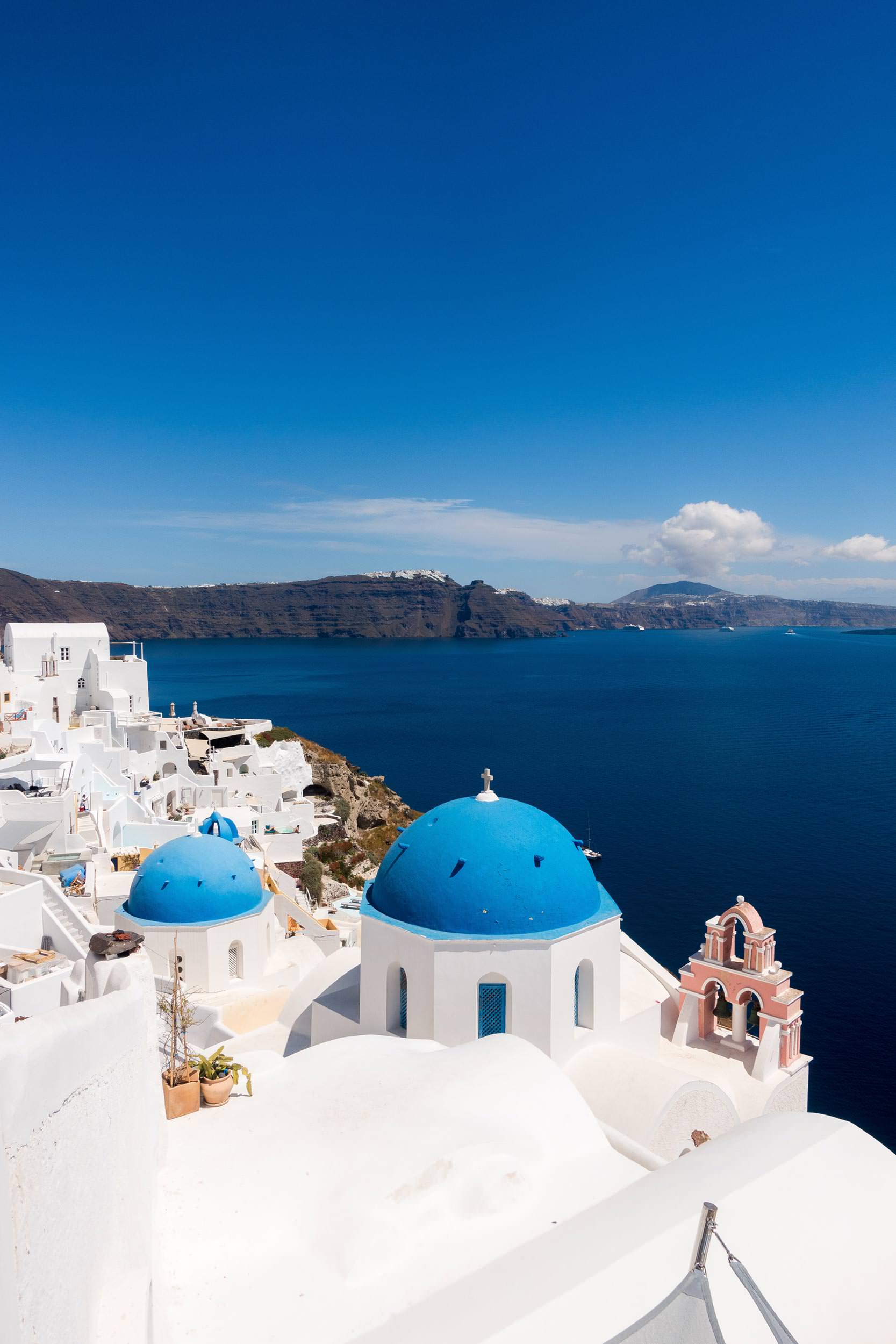
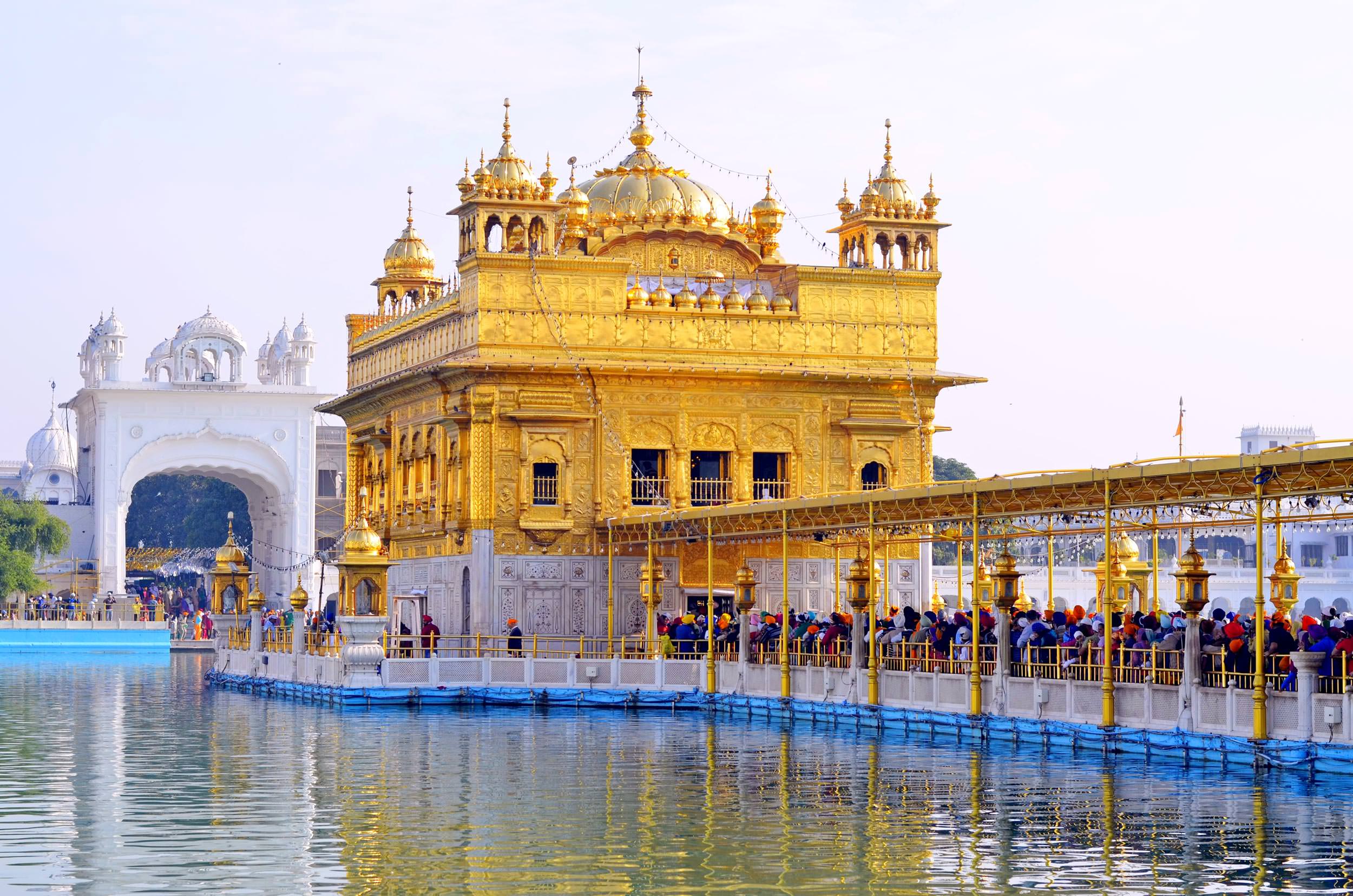
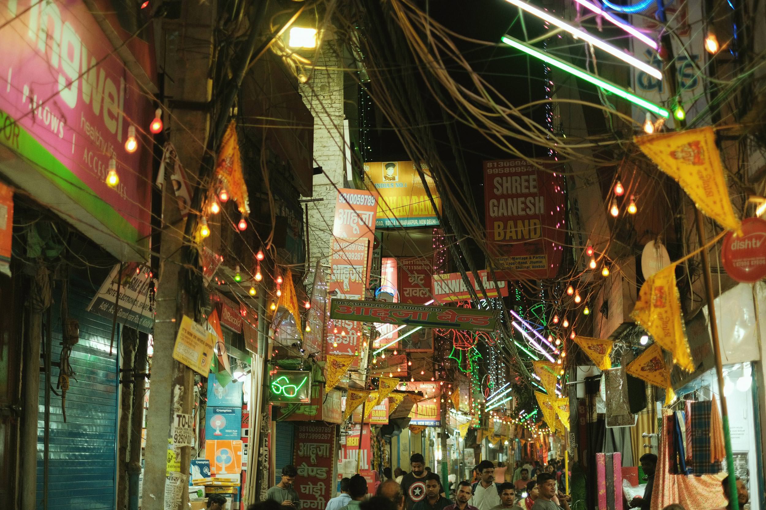
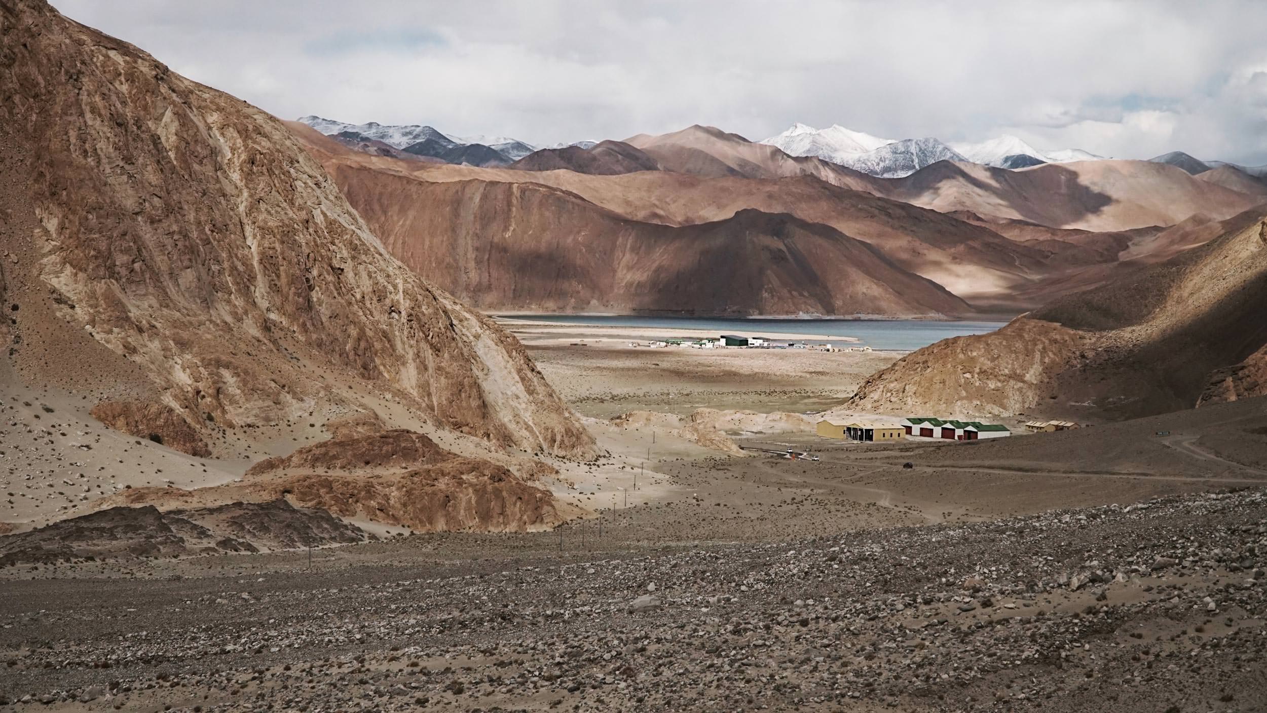
Discovering India: Top Destinations for Travelers
India is a land of diversity, with a rich cultural heritage and a wealth of natural beauty. Here are some of the top Destinations for travelers to visit in India.

Top 10 Most Haunted Places In The World
If you are interested in visiting some of the most haunted places in the world, then here are ten spooky places that we recommend you pay a visit to.

Top Pet-Friendly Airlines Around the World
Always dreamt of traveling the world with your pet? Check out these top 5 pet-friendly airlines around the world that can turn your dream into a reality!

Travel Vlogging Guide for Beginners: 7 Simple Tips
Vlogging is a new and exciting way to share your adventures with the world. Now, more than ever, we can use technology like smartphones and digital cameras to produce high-quality vlogs on the go.