Map of Corfu and Surrounding Countries
|


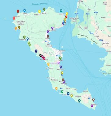
Explore the best beaches by area, using custom regional maps and links to local beach guides all written from firsthand experience.
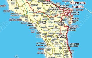
Another map of Corfu’s wider area, including the city’s urban fabric, southern suburbs, and the Kanoni peninsula, extends up to Mouse Island.
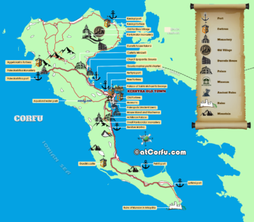
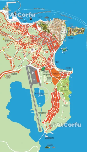
Explore Corfu’s rich history and vibrant culture with our detailed map of top attractions and landmarks—your perfect travel guide.
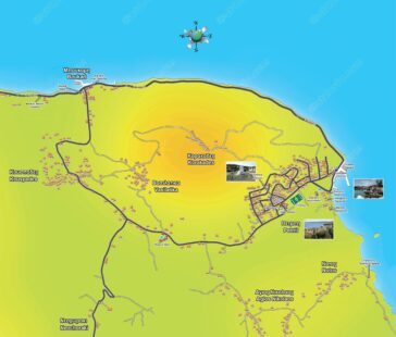
Map for Petriti and Boukari. These are two small fishing villages on the East coast of Corfu, about 20 miles from the town.
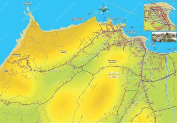
This is a large detailed map of the Sidari wide tourist area, from an area near Roda up to Peroulades.