


📄
Cite this article
Last updated on November 25th, 2025 at 05:26 pm
All the maps you need for your trip to Corfu, in one convenient PDF.
Designed by locals, this pack includes detailed maps of beaches, Corfu Town, attractions, distances between areas, and more.
- 📍 Perfect for offline use
- 🧭 Essential for planning & exploring
- 🖨️ Printable or viewable on any device
What’s Inside the PDF
- 🏖️ Beaches by Type – Sandy, quiet, family-friendly, and best for snorkeling
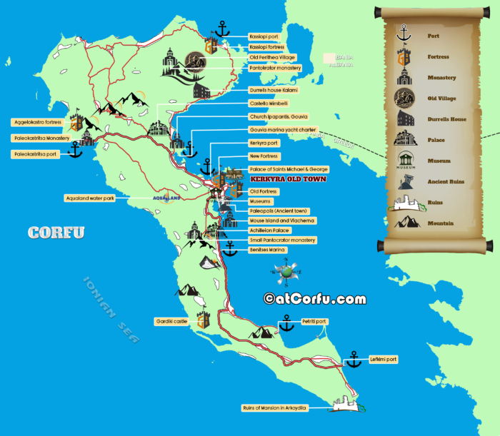
- 🏛️ Monuments & Sights – Easy-to-follow map of all major attractions
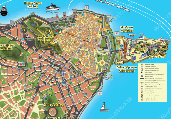
- 🏙️ Corfu Town Walking Map – Navigate Old Town streets and highlights
- 🚘 Driving Distance Map – Understand how far everything is
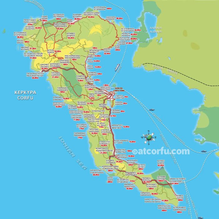
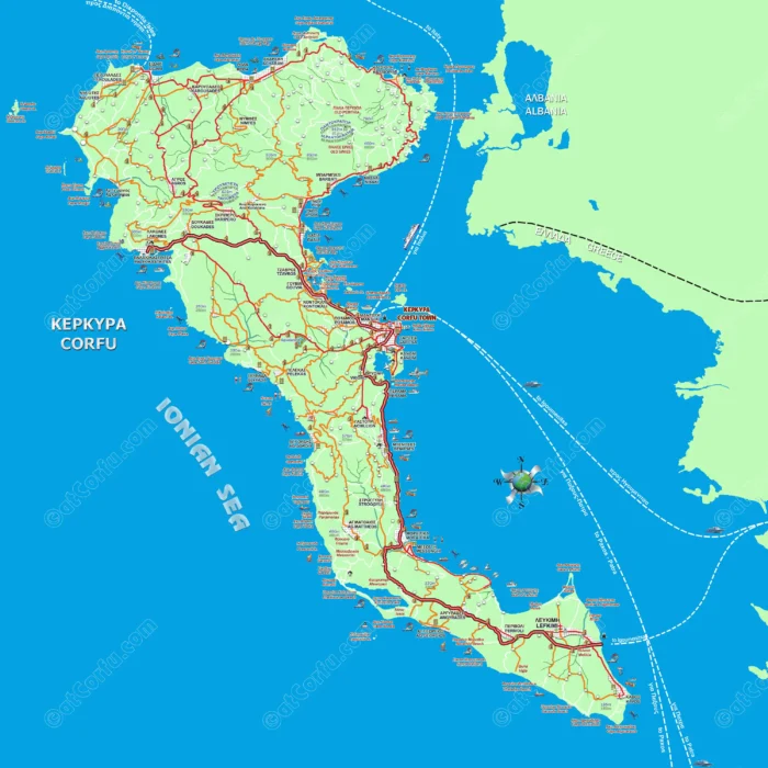
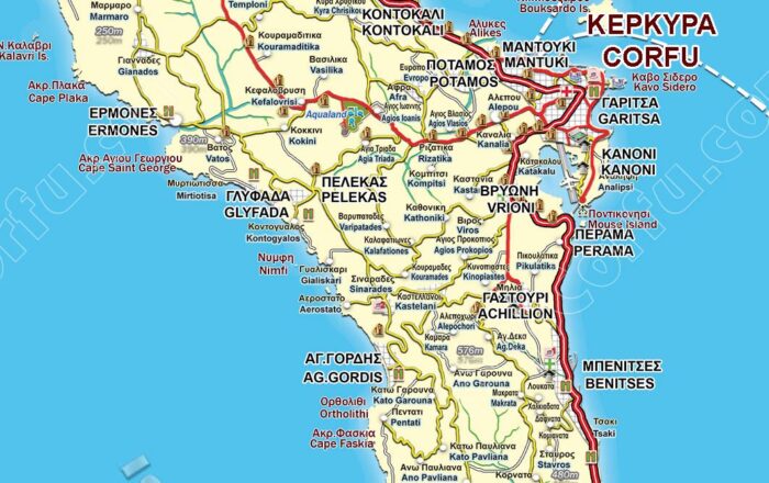
- 🗺️ General Island Maps – Towns, main roads, and tourist zones
Get the PDF Now
👉 Click here to get the Corfu Maps Pack (PDF)
Preview some Maps
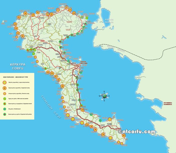
Maps of Corfu Beaches
📋 Corfu’s Top Beaches – Full Overview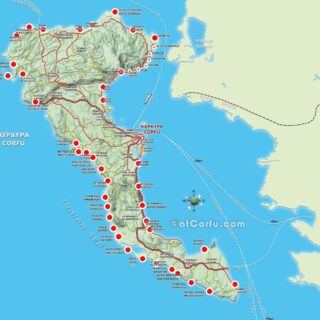
Corfu Beaches Map
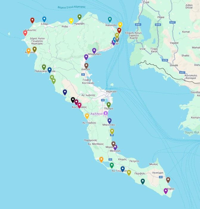
Interactive Map of Corfu Beaches
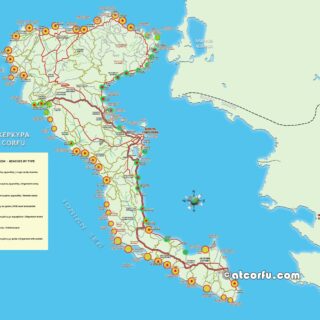
Corfu Beaches Map by type
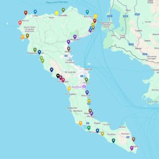
Maps of Corfu Island and Town
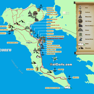
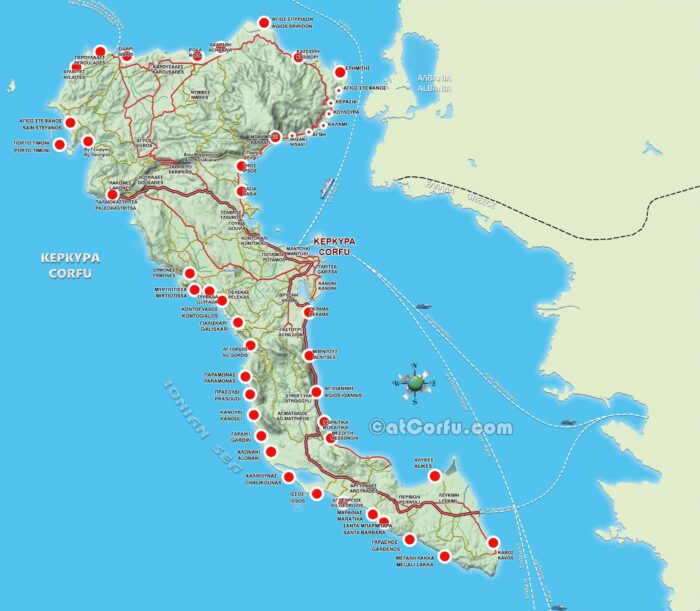
A map of Corfu Attractions
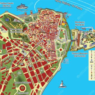
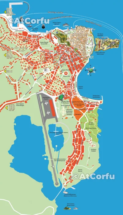
Corfu Old Town Walking Map

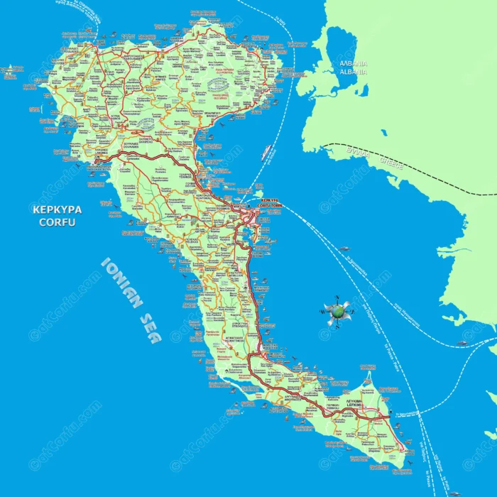
Corfu Island Large Road Map
Why Use This Map Pack?
- No need to jump between posts — everything is organized in one file
- Available offline when there’s no signal
- Built by locals who know the island
- Updated regularly based on real on-the-ground info
Related Pages
Made by Locals
This PDF guide was created by the team behind AtCorfu Travel Guide, the only Corfu travel site run by locals.
We know the island — and we want you to enjoy it as we do.