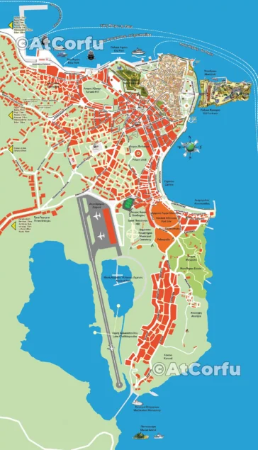
Diapontia Islands Map: Othonoi, Ereikoussa, and Mathraki
A map of Diapontia islands, Othonoi, Ereikoussa and Mathraki, along with some smaller as Diakopo, Diaplo, Karavi, Lipso, etc.
Benitses maps in large size showing in such detail all small roads, paths, and landscape, this map of Benitses is the only one that exists in such a size.
The disease caused by the new Coronavirus was named COVID-19 and despite early predictions, within a short time, it spread beyond the borders of China, around the world.
This Benitses picture of 1981 shows the entire area of Benitses almost from Koutsomaroula bay up to Laopetra, seems to been pulled from the base of the then old pier in the harbor
Hi people, I’m COVID-19.
Many of you simply know me as Coronavirus. So yes. I’m SARS-CoV-2 and this is my message to Humanity.
For Easter 2020 it would be funny to think about events and celebrations and even more for visitors.
After all, to limit the COVID-19 disaster as much as we can, we have no other way than isolation.