I Am Eosphoros: Bringer of Light
|
I am Eosphoros, the morning star, the harbinger of dawn, whose brilliance precedes the first light of Eos, daughter of the Titans Hyperion and Theia.

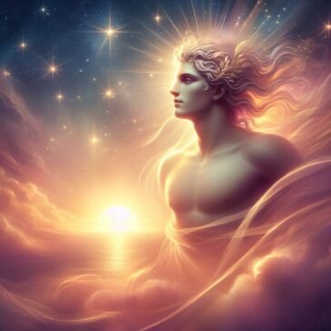
I am Eosphoros, the morning star, the harbinger of dawn, whose brilliance precedes the first light of Eos, daughter of the Titans Hyperion and Theia.
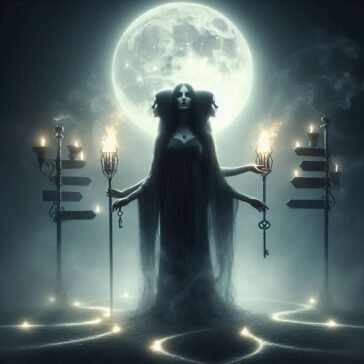
I am Hecate, daughter of hidden powers, older than many you call gods, yet not one with Night itself. I am chthonic, a goddess of the underworld, a guide of souls.
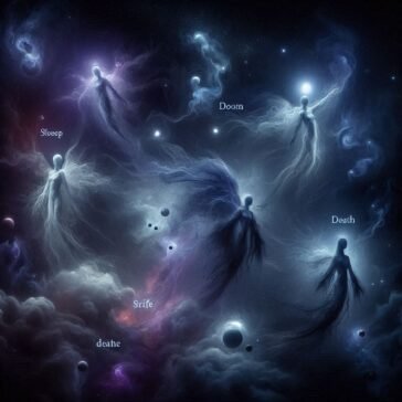
Explore the Children of Nyx in Greek mythology: the divine forces of Night, Sleep, Death, Fate, Strife, and more, as described in Hesiod’s Theogony.
Medea: the woman who loved too fiercely, betrayed too deeply, and struck with a vengeance that shook kings, gods, and myth alike.
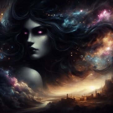
Before Zeus, before the Titans, even before Gaia cradled life herself, there was me. I am Nyx.
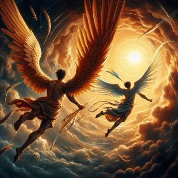
Daedalus watched, powerless, as his son plunged into the dark waves below. The sea took him, and the old craftsman landed alone on foreign shores.